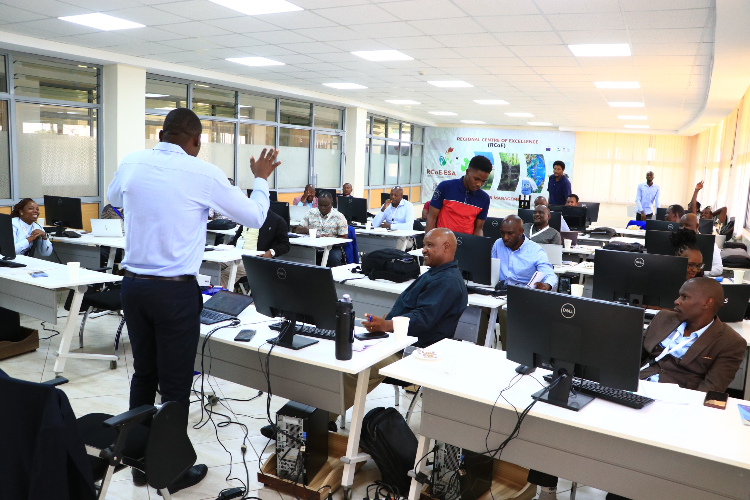
Nairobi, Kenya – In a significant step toward enhancing spatial data capabilities within government, the Regional Centre for Mapping of Resources for Development (RCMRD) has officially launched a comprehensive GIS and Remote Sensing Training Program targeting county and government officers. The launch event, held at the RCMRD headquarters in Kasarani, Nairobi, brought together representatives from various government departments, county administrations, and development partners.
The training initiative aims to equip public officers with cutting-edge geospatial technologies and analytical skills to enhance decision-making, planning, and policy formulation across critical sectors including land use, agriculture, water resource management, disaster risk reduction, and urban planning.
Speaking during the launch, RCMRD Director General Dr. Emmanuel Nkurunziza emphasized the importance of geospatial data in modern governance.
“Accurate and timely spatial data is vital for effective service delivery, sustainable development, and climate resilience. This training will build the capacity of government officers to collect, analyze, and utilize geospatial information for informed decision-making.”
The program, which includes both theoretical and practical modules, will span several weeks and is designed to address the current gaps in geospatial knowledge within county governments. Topics covered will include:
Introduction to Geographic Information Systems (GIS)
Fundamentals of Remote Sensing
Data collection and satellite imagery interpretation
Spatial analysis and mapping using software like ArcGIS and QGIS
Use of drones in data collection
Real-life case studies on geospatial applications in governance
The initiative aligns with Kenya’s digital transformation agenda and the African Union's goal of increasing data-driven governance. County governments are particularly expected to benefit by improving their planning capacity for land use, infrastructure development, and environmental conservation.
Representatives from counties such as Turkana, Kiambu, Mombasa, and Kisumu praised the initiative, citing it as timely and transformative.
“This training is not just about software skills; it’s about empowering counties to use spatial data to solve real-world problems,” said Mary Wanjiku, a planner from Kiambu County.
RCMRD, a leading institution in geospatial science and technology, has been instrumental in promoting regional cooperation and development through the application of mapping and Earth observation technologies.
The training is expected to be rolled out in phases, with more counties and ministries scheduled to participate in the coming months. RCMRD continues to play a pivotal role in strengthening institutional capacities for sustainable development in Kenya and across Africa.